Subsea pipelines are used to carry oil, gas or other fluids from sea to land. They could be laid on the seabed surface or buried to increase safety and protect them against damage due to anchoring or caused by fishing activity, scour and dropped objects such as scaffolding.
However pipes buried may also have disadvantages, they may be installed in areas prone to landslides, exposed to additional loads transmitted by the ground movement that exert excessive strains on the pipe sections causing rupture. Buried pipelines are required to withstand internal hydrostatic pressure and external loads such as soil, water pressure. Various ground movements such as ground oscillation, loss of bearing capacity, lateral spreading, and buoyancy are associated with liquefaction during earthquakes.
To understand the seafloor geomorphic features and to determine if the pipeline could be subjected to dangerous effect, it is necessary to conduct geophysical surveys for an optimal assessment of the seabed and subsurface geological conditions. Offshore, nearshore, and inland marine geotechnical survey provide the necessary data for geohazard identification and pipeline routing.
The main objective of the Geophysical Survey is the characterization of the site conditions, which typically include the water depth, seabed morphology, seabed sediments and subsoil geology through the processing and interpretation of geophysical data sets collected by several devices such as: Single Beam Echo Sounder (SBES) and Multibeam Echo Sounders (MBES) with motion sensors; Side-Scan Sonar (SSS) and Magnetometer used to investigate for hazards and objects buried below the seabed such as munitions and wrecks; Sub-Bottom Profiler (SBP) systems and transverse gradiometer combined with Global Navigation Satellite System (GNSS).
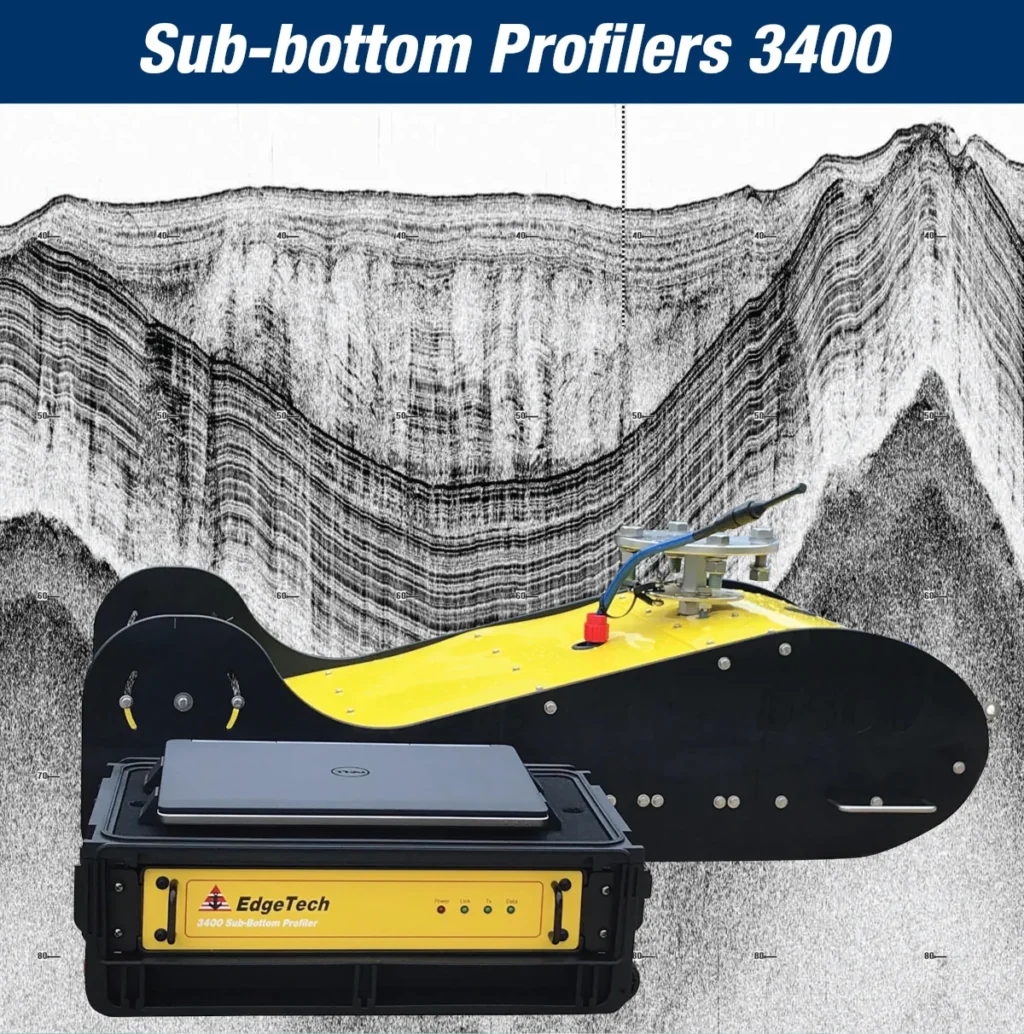
The SBP devices includes several types of systems such as Pinger a high frequency system which transmit a single frequency and Compressed High-Intensity Radar Pulse (CHIRP)systems which transmit a sweep of frequencies in a single pulse. The Full Spectrum CHIRP technology system developed by EdgeTech’s company has several distinct advantages over conventional SBP systems such as separate acoustic projectors and receivers that simultaneously transmit and receive acoustic signals, high repeatability of the transmitted signals to enable sediment classification, high SNR (Signal-to-Noise Ratio) for improved acoustic imagery, high resolution for measurement of fine sediment layering, additional processing gain for energy efficiency and many others.
Cover image: Edgetech
Read more in the digital JP Mag – JPmag – May 2022
Paolo Mazzone
SubEng – HSE Adviser

